MOUNTAIN BIKING in East Scotland
All photographs on this site copyright Chris Stamp, except where otherwise indicated


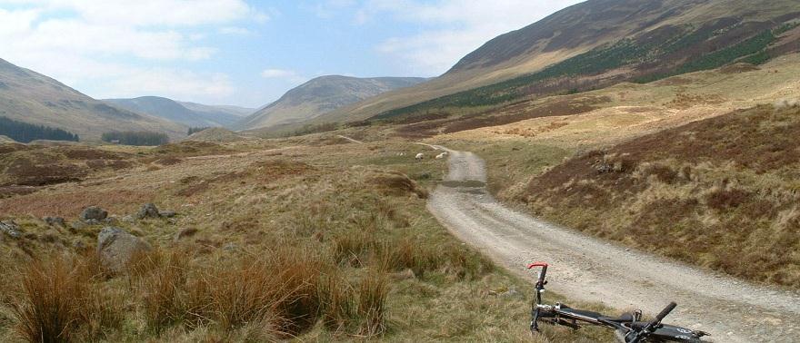
Glenalmond
Orange Route: 42 kms approx
Parking:
There is designated parking just east of Newton Bridge.
Difficulty:
The orange route along the glen offers no particular challenges other than endurance. The riding itself could be called mundane in fact, and it is the stunning scenery that is the appeal of this ride. The small section of footpath connecting the two landrover tracks may not be ridable, but it is a short walk, albeit potentially a little boggy.
Route description:
Navigation is of little difficulty - just ride up the glen, following the course of the river. The target is views of Loch Tay, before heading back the way you came.
The green route is one for the serious cyclist, taking you back to the car park the long way via the road along the loch, before climbing steeply up the single track road just as you reach Kenmore, onto truly spectacular high ground, descending again, passing Loch Freuchie (take the yellow route for an off-road detour), and heading back to the car park on a stretch of A road.
Note that the circuit of Loch Freuchie is a short (12.5km) circuit in its own right - parking at the village pub in Amulree.
Comments:
Watch out for the extremely slippy wooden bridges in Glenalmond if it is wet.
The wildlife tends to come down off the slopes in the evening. On one memorable occasion we had mountain hares approach us to close range on the walking section at ten o'clock one summer's evening, and later we had red deer splashing through the river alongside us.
In recent years, white tailed sea eagles and golden eagles have competed for airspace around Loch Tay, and red kites are not unusual in the glen.Unfortunately golden eagles have been poisoned in the glen on at least one occasion.